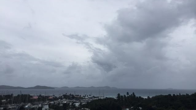
Forecasters at the Antigua & Barbuda Meteorological Services and other Meteorological Agencies continue to monitor a number of tropical waves in the Atlantic. Presently Disturbance 1 & Disturbance 2 is showing signs of development and has the potential to become weak tropical storms. Disturbance 3 is being monitored for as it progresses west ward.
Disturbance 1 is producing disorganized showers and thunderstorms. It is located about 500 miles east of St. Lucia near latitude 14 degrees north, longitude 52 degrees west. The disturbance is moving westward at about 20 mph. Max winds are 30 mph to the north of the weak low pressure centre. It is expected to move across the central Lesser Antilles tomorrow in the afternoon. The disturbance is likely to remain weak as it moves across the islands. At most, it could be a weak tropical storm. Regardless of development, scattered squalls will result in heavy rainfall and gusty winds across the southern Leeward and northern Windward Islands.
Disturbance 2 is producing some squalls, especially to the west of the centre. It is located about 1390 miles east of St. Lucia near latitude 14.5 degrees north, longitude 40 degrees west. The disturbance is moving to the west-northwest at about 25 mph. Max winds are 30 mph to the north of the centre. The disturbance is expected to pass close to the islands of the northeast Caribbean on Saturday night. The chance of development prior to approaching the northeast Caribbean Sea is 50 percent. The environmental conditions are marginal for intensification. At most, it will be a weak tropical storm by the time it passes near the northeast Caribbean Sea.
Disturbance 3 is generating disorganized showers to the south of the Cape Verde Islands. It is moving westward at about 20 mph. This disturbance is expected to move west to west-northwest over the next few days. The environment is anticipated to be dominated by the dry Saharan air while it stays below 20N. This is not favourable for intensification. In about five days, it will be located to the northeast of the Leeward Islands. Development is likely to occur as it moves north of 20N. It is too early to determine if it is a threat to the Leeward Islands. The chance of development in the next 7 days is 50 percent.
Residents are encouraged to monitor the systems as they have the potential to create more unsettling weather conditions in the coming days.
The DDM will continue to monitor these weather systems and provide updates when they become available.
Please continue to monitor local media stations, DDM’s website (bviddm.com) and Facebook at BVIDDM for regular updates.
Disclaimer: The Department of Disaster Management (DDM) is not an official Meteorological Office. The Information disseminated by the Department is gathered from a number of professional sources used or contracted by the DDM to provide such information. This information is to be used as a guide by anyone who has interest in local weather conditions. By no means can the DDM or the BVI Government be held accountable by anyone who uses this information appropriately for legal evidence or in justification of any decision which may result in the loss of finances, property or life.