Synopsis: Over the next 24 hours and beyond, a mid to upper level trough will gradually drift closer to the islands from the North West while a weak tropical wave and its associated instability slowly moves into the area from the east. The interaction of both features along with a light, southerly wind flow will maintain an unstable atmosphere across the area, as well as a relatively high chance for showers during that time.
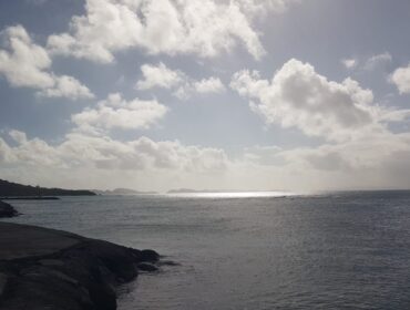
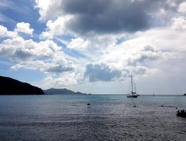
Wx: Partly cloudy skies tonight with a brief isolated late night shower, becoming partly sunny tomorrow with periods of increased cloudiness and some brief passing early morning showers along with some localized afternoon showers developing.
Winds: ESE at 11-22km/h or 6-12kts becoming variable or calm overnight..
Seas: Slight to moderate, swells 1-1.5m or 3-5ft..
Atmospheric Pressure: Well below normal.
Sunrise tomorrow: 6:10 am.
Sunset tomorrow: 6:01 pm.
Please continue to monitor local media stations, DDM’s website (bviddm.com) and Facebook at BVIDDM for regular updates.
Disclaimer: The Department of Disaster Management (DDM) is not an official Meteorological Office. The Information disseminated by the Department is gathered from a number of professional sources used or contracted by the DDM to provide such information. This information is to be used as a guide by anyone who has interest in local weather conditions. By no means can the DDM or the BVI Government be held accountable by anyone who uses this information appropriately for legal evidence or in justification of any decision which may result in the loss of finances, property or life.