Synopsis: A broad ridge will build over the area during the next 24 hours and in response, a moderate to fresh breeze will maintain a moderate chance of showers and hazardous seas over and around the islands respectively
Weather tonight: Partly cloudy with a 20 percent or Slight chance of brief showers
Weather tomorrow: Partly cloudy with a 40 percent or moderate chance of brief morning showers
Winds: East-southeast at 19 to 33 km/h (10 to 18 knots; 12 to 21 mph), with strong gusts to 56 km/h (30 knots; 35 mph) through Sunday, and east-northeast at 25 to 44 km/h (14 to 24 knots; 16 to 28 mph) with strong gusts to 68 km/h (37 knots; 43 mph) Monday through Saturday; a high wind advisory may be required for portions of next week
Seas: 2.1 to 3.4 metres (7 to 11 feet), occasionally or locally reaching near 4.5 metres (15 feet). Swell period: 9 to 13 seconds. High Surf and Small Craft advisory goes into effect tonight for the Virgin Islands.
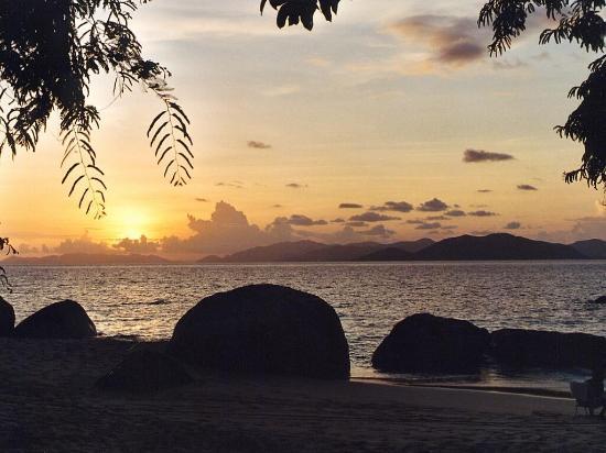
Sunrise tomorrow: 6:53 am.
For more weather information, you can visit the Department of Disaster Management WeatherStem Station on the link provided. http://bvi.weatherstem.com/tortola
Disclaimer: The Department of Disaster Management (DDM) is not a Meteorological Office. Information shared by the Department is gathered from a number of professional sources contracted by the Department. This information should be used as a guide for anyone who has an interest in local weather conditions. By no means can DDM or the Government of the Virgin Islands be held accountable by anyone who uses this information appropriately for legal evidence or in justification of any decision, which may result in the loss of finances, property or life