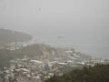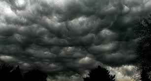
Synopsis: The presence of a frontal trough just over of the Leeward combined with a deep layered upper level trough act to significantly increase the chance of showers and thunderstorms across the Leeward and British Virgin Islands. Precipitation may total up to 76.2 mm or 3 inches, which may lead to flash flooding in low-lying and flood prone areas.
Weather tonight: Overcast skies with moderate to heavy showers and a 70% or high chance of thunderstorms.
Weather tomorrow: Mostly cloudy skies with moderate to heavy showers and a 20% or slight chance of thunderstorms.
Winds: South then becoming northwest at 19 to 28 mph or 12 to 17 mph.
Seas: 1.5 to 2.4 meters or 5 to 8 feet in northerly swells. Therefore, a High Surf Advisory is in effect.
Sunrise tomorrow: 6:36 am.
For more weather information, you can visit the Department of Disaster Management WeatherStem Station on the link provided. http://bvi.weatherstem.com/tortola
Disclaimer: The Department of Disaster Management (DDM) is not a Meteorological Office. Information shared by the Department is gathered from a number of professional sources contracted by the Department. This information should be used as a guide for anyone who has an interest in local weather conditions. By no means can DDM or the Government of the Virgin Islands be held accountable by anyone who uses this information appropriately for legal evidence or in justification of any decision, which may result in the loss of finances, property or life