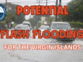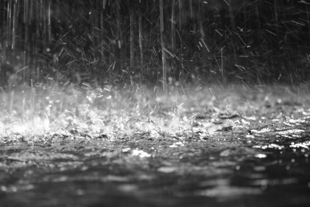
Synopsis: A frontal trough interacting with a deep layered trough will significantly increase the chances for shower and thunderstorm activity across the area during the next 24 hours. Rainfall totals of up to 50.8mm or 2 inches are possible in some places during that time, for which a flash flood watch is already in place and could be upgraded to a warning at short notice.
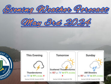
Weather today: Cloudy with periods of showers and thunderstorms.
Weather tonight: Cloudy with periods of showers and thunderstorms.
Winds: Southwest at 22 to 33 km/h or 14 to 21 mph, reaching as high as 50 km/h or 31 mph during showers, as well as over open waters and in elevated areas..
Seas: 1.8 to 2.4 metres or 6 to 8 feet. Small craft operators should continue to exercise caution.
Sunset today: 6:16 pm.
For more weather information, you can visit the Department of Disaster Management WeatherStem Station on the link provided. http://bvi.weatherstem.com/tortola
Disclaimer: The Department of Disaster Management (DDM) is not a Meteorological Office. Information shared by the Department is gathered from a number of professional sources contracted by the Department. This information should be used as a guide for anyone who has an interest in local weather conditions. By no means can DDM or the Government of the Virgin Islands be held accountable by anyone who uses this information appropriately for legal evidence or in justification of any decision, which may result in the loss of finances, property or life