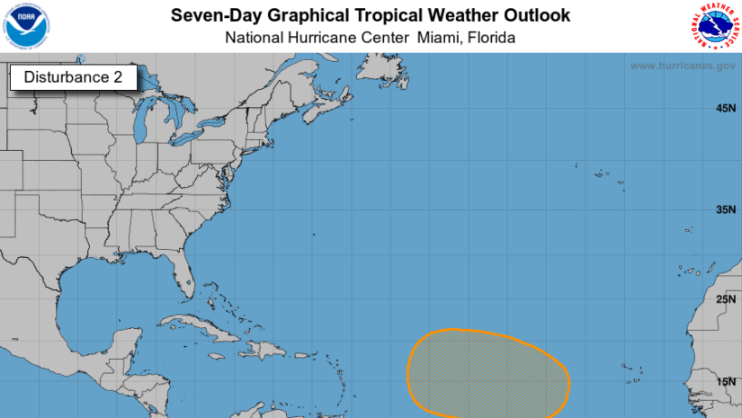
The National Hurricane Centre has highlighted a broad “area of interest.” What does it mean?
Basically, this area is showing signs that a tropical cyclone could develop by about Wednesday. Whether this system would track through the Caribbean Sea or to the north away from the islands is still uncertain at this time.
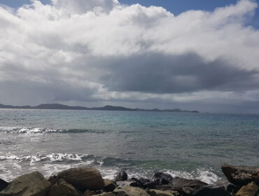
We will keep monitoring and bring updates as conditions change.
- 𝗖𝗼𝗻𝘁𝗶𝗻𝘂𝗲 𝘁𝗼 𝗰𝗵𝗲𝗰𝗸 𝘁𝗵𝗲 𝗗𝗗𝗠 𝗮𝗽𝗽 , 𝗙𝗮𝗰𝗲𝗯𝗼𝗼𝗸, 𝗜𝗻𝘀𝘁𝗮𝗴𝗿𝗮𝗺, 𝗧𝘄𝗶𝘁𝘁𝗲𝗿 𝗽𝗮𝗴𝗲𝘀 𝗮𝗻𝗱 𝗼𝘂𝗿 𝘄𝗲𝗯𝘀𝗶𝘁𝗲 𝘄𝘄𝘄.𝗯𝘃𝗶𝗱𝗱𝗺.𝗰𝗼𝗺/ 𝗱𝗮𝗶𝗹𝘆 𝗳𝗼𝗿 𝘂𝗽𝗱𝗮𝘁𝗲𝘀
Disclaimer: The Department of Disaster Management (DDM) is not a Meteorological Office. Information shared by the Department is gathered from a number of professional sources contracted by the Department. This information should be used as a guide for anyone who has an interest in local weather conditions. By no means can DDM or the Government of the Virgin Islands be held accountable by anyone who uses this information appropriately for legal evidence or in justification of any decision, which may result in the loss of finances, property or life.