Synopsis: Moisture and instability associated with an area of disturbed weather just southeast of the Leewards, will approach the islands later tonight into tomorrow and heighten the chances for showers and thunderstorms over and around these islands during that time.
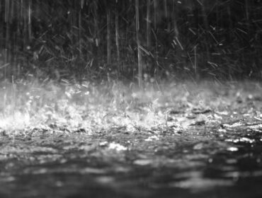
Weather tonight: Partly cloudy to cloudy conditions with a 70 percent or high chance of showers and a moderate chance of thunderstorms mainly after midnight.
Weather tomorrow: Mostly cloudy conditions with a 70 percent or high chance of showers, some of which could be moderate to locally heavy at times accompanied by isolated thunderstorms.
Winds: East at 22to 33 km/h or 14 to 21 mph, reaching as high as 50 km/h or 31 mph during showers, as well as over open waters and in elevated areas..
Seas: 1.8 to 2.4 metres or 6 to 8 feet. Therefore a small craft advisory is in effect mainly for coastal waters east of the islands..
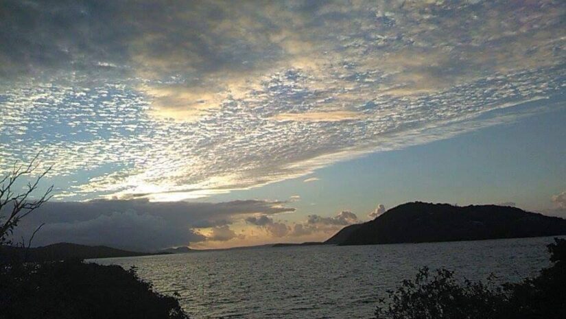
Sunrise tomorrow: 5:54 am.
For more weather information, you can visit the Department of Disaster Management WeatherStem Station on the link provided. http://bvi.weatherstem.com/tortola
Disclaimer: The Department of Disaster Management (DDM) is not a Meteorological Office. Information shared by the Department is gathered from a number of professional sources contracted by the Department. This information should be used as a guide for anyone who has an interest in local weather conditions. By no means can DDM or the Government of the Virgin Islands be held accountable by anyone who uses this information appropriately for legal evidence or in justification of any decision, which may result in the loss of finances, property or life