Locations to be affected: Reefs and exposed eastern coastlines with relatively shallow, gently to moderately sloping,
nearshore areas.
Timing: until Thursday.
Synopsis: Moderate long-period swells are expected to reach the area, mainly affecting eastern coastlines. The threat
level to the life, livelihood, property and infrastructure of those using the affected coastlines is to rise to moderate.
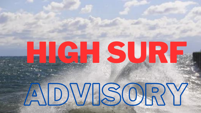
These swells could cause life-threatening surfs and rip currents on affected coastlines. A high surf advisory means that
dangerous surfs of 2 to 3 metres or 6 to 10 feet will affect some coastlines in the advisory area, producing hazardous
conditions.
Seas (significant wave heights): 1.5 to 2.1 metres (5 to 7 feet), occasionally or locally reaching near 2.4 metres (8 feet).
Swell period: 9 to 13 seconds. Swells: Northeast at 1.5 to 2.1 metres (5 to 7 feet) and occasionally higher. Buoy 41044
data reveals a discrepancy with the EC model’s predictions. Specifically, the EC model consistently underestimates swell height by approximately one foot, as well as the swell periods by 6 to 8 seconds, and the swell direction by 30 to 40 degrees. In contrast, the ICON model closely aligns with the actual conditions observed at the buoy. Therefore, we are placing greater reliance on the ICON model for forecasting swells expected to reach the threshold for an upcoming
high surf advisory.
Surfs (breaking swells): Over 2 metres (over 6 feet). These conditions are conducive for dangerous rip currents. Please note that surfs could be as much as twice the height of swells, depending on the bathymetry of the nearshore areas. Coastal flooding: High tides combined with onshore wind and swell actions could result in localized coastal flooding and beach erosion.
Potential Impacts: Loss of life–strong currents that can carry even the strongest swimmers out to sea; injuries to
beachgoers; beach erosion; sea water splashing onto low-lying coastal roads; beach closures; localized disruptions to
marine recreation and businesses; financial losses; damage to coral reefs; saltwater intrusion and disruptions to
potable water from desalination. High surfs can knock spectators off exposed rocks and jetties.
Precautionary: Beachgoers, especially to the mainly affected coastlines, should be extremely cautious; bathe only
where lifeguards are present or on the sheltered, less affected beaches, mainly to the south. Extreme caution is also
required by those using the affected non-beach or rocky coastlines.
Rip currents are powerful channels of water flowing quickly away from shore, which occur most often at low spots or
breaks in the sandbar and near structures such as groins, jetties and piers. If caught in a rip current, relax and float.
Don`t swim against the current. If able, swim in a direction following the shoreline. If unable to escape, face the shore
and call or wave for help.
Disclaimer: The Department of Disaster Management (DDM) is not a Meteorological Office. Information shared by the Department is gathered from a number of professional sources contracted by the Department. This information should be used as a guide for anyone who has an interest in local weather conditions. By no means can DDM or the Government of the Virgin Islands be held accountable by anyone who uses this information appropriately for legal evidence or in justification of any decision, which may result in the loss of finances, property or life